UT Geoscientists are Leading an International Team That Wants to Predict Earthquakes
On August 14, 2021, a 7.2 magnitude earthquake struck off the coast of Haiti. The Caribbean nation deals with quakes regularly, but this event was the largest to ever strike the island it shares with the Dominican Republic. In the days after the earthquake, as survivors dug through the rubble from collapsed buildings and landslides, officials counted more than 2,000 dead, 12,000 injured, and hundreds missing. It was a devastating blow for the country, which was still recovering from a magnitude 7.0 earthquake in 2010 that killed nearly a quarter million Haitians.
The disastrous quake was just one of the estimated 20,000 that will occur around the world this year. While most are not as catastrophic as that one, earthquakes almost always seem to strike randomly and without warning. Signs of a quake are typically only recognized in retrospect. Generations of geologists have dreamed of understanding this force of nature well enough to forecast an earthquake’s location and magnitude with the same accuracy that a meteorologist can forecast a thunderstorm. This ability could save thousands of lives and billions of dollars in damage every year, but an effective forecasting method has remained elusive.
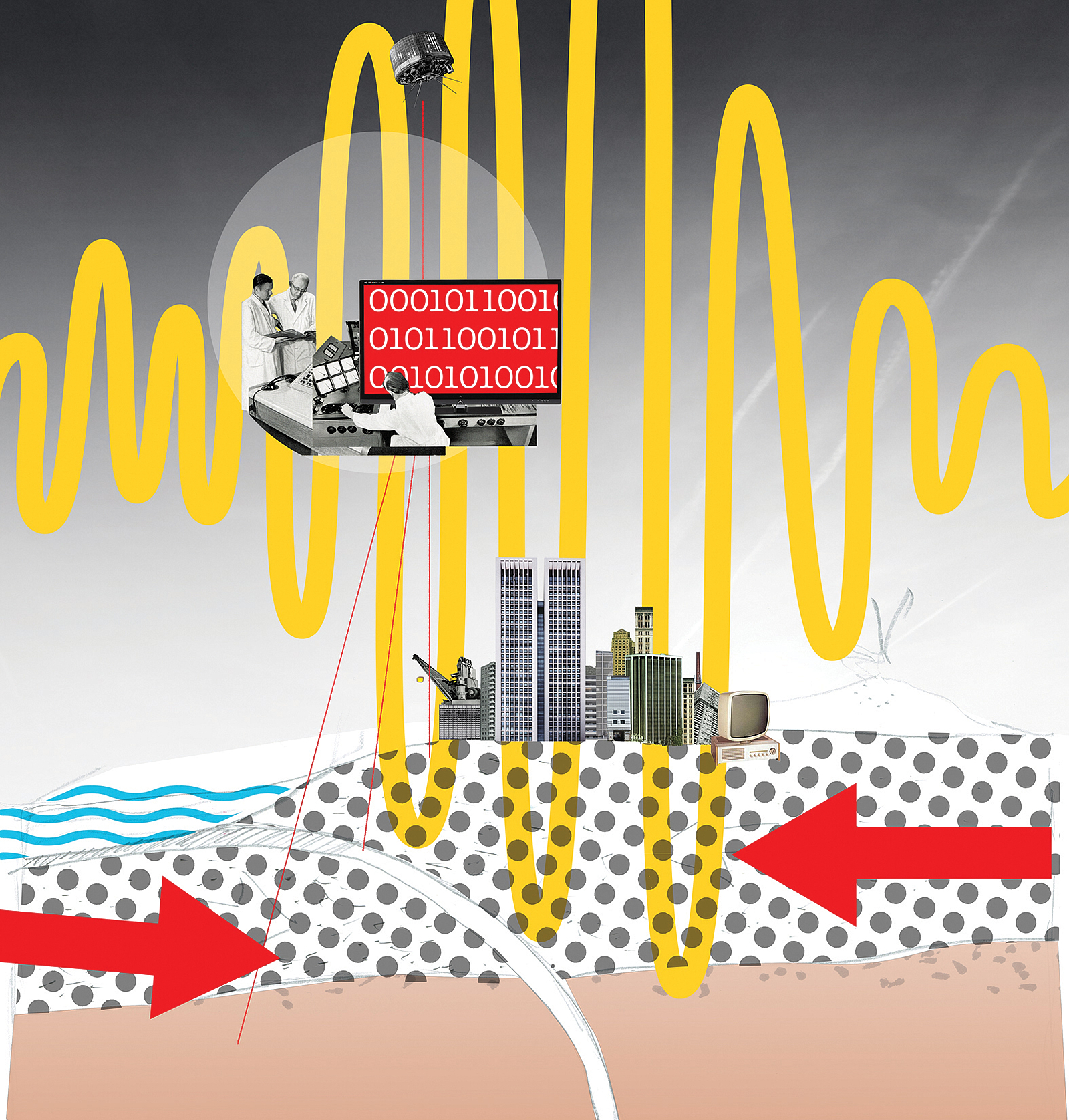
That may soon change. In August, the National Science Foundation awarded an international team of scientists led by UT geophysicists a five-year, $2.8 million grant to develop an advanced earthquake modeling platform. The cross-disciplinary effort will draw on expertise from the Jackson School of Geosciences, UT’s Oden Institute for Computational Engineering and Sciences, and the Texas Advanced Computing Center, to bring the power of high-performance computing to a discipline often associated with picks and shovels.
The NSF grant will support Thorsten Becker, a professor of geological sciences and senior research scientist at the Institute for Geophysics, and his collaborators as they develop software to create advanced digital models that realistically simulate the physics of an earthquake. The goal is to combine data on several different processes that are believed to play a role in earthquakes into a comprehensive model that can help forecast the likelihood of an earthquake based on real world conditions. The team hopes to use the models to integrate the data from a range of sensors that can detect slight changes in the Earth’s crust, and then interpret those changes to forecast future earthquakes.
“This investment in computational geosciences is hopefully just the beginning,” Becker says. He points to the breakthroughs in biology and chemistry, where machine learning and digital modeling were used to unravel the mysteries of protein folding or to discover new drugs, as examples of what he hopes to enable in earthquake forecasting. “Our computational capabilities, models, and observations have improved dramatically. We’re on the cusp of building a model that can capture these phenomena,” Becker says.
Researchers have two main challenges. One is identifying the factors that affect earthquake dynamics, like the ways that the presence of water or the type of rock influence how the ground moves beneath our feet. The second is accurately describing how those factors interact to cause an earthquake. The problem for geologists is that they don’t have either piece of this puzzle nailed down yet.
What geologists know is that the ground beneath our feet is composed of massive pieces of rock called plates that are constantly in motion—albeit at speeds comparable to those at which our fingernails grow. The boundaries between plates, or faults, are hotbeds of earthquake activity. The going theory, first proposed over 100 years ago, is that when one plate slips beneath the other at the fault, it releases a tremendous amount of energy that ripples outward through the ground. This is not a controversial idea. But the devil is in the details.
“For example, it’s unclear if fluids are important,” Becker says, referring to water and magma that may be trapped in the Earth’s crust. “They’re not unimportant, but are they crucial for us to understand what is happening? It’s not clear.”
To forecast earthquakes, geologists must identify the critical factors that cause them, which requires creating sophisticated simulations on supercomputers to model how those factors interact. But those computer models require a lot of high-quality data from actual earthquakes, which until recently didn’t exist. Rapid advancements in Earth-imaging satellites and large investments in monitoring systems have given geologists unprecedented data on local conditions before, during, and after an earthquake. What they didn’t have was a comprehensive model to understand it.
That’s what Becker’s team wants to create. Their goal is to take the treasure trove of data to create a model that can be applied to forecast earthquakes in different regions. They’re focusing on three hotspots: the faults around New Zealand, Japan, and the northwestern U.S. They’ll know they’re on the right path if they can create forecasts and explain observations in all three regions.
Becker and his colleagues aren’t the first to create earthquake models, but they are among the most ambitious recent teams to formulate a model this comprehensive and that seeks to provide formal estimates of uncertainties. The end goal is to create a system that can forecast earthquakes the way meteorologists forecast weather. It won’t be able to say exactly when and where an earthquake will occur, but it could tell researchers how changing conditions in the Earth’s crust increase the likelihood of a quake over a given time period. So, if sensors detect the crust shifting slightly in one direction, they might be able to say that these conditions create, say, an 80 percent chance of an earthquake occurring along that fault region in the next year.
Becker is quick to acknowledge the magnitude of the challenge. There is a mountain of data that spans a wide range of different measurements and timescales. Most of it is riddled with noise. And there is no guarantee that the team will be successful—or even have a clear consensus on what ultimate success looks like. Much of the geological community agrees that it will never be possible to predict earthquakes, which would require the ability to repeatedly name the exact time, location, and magnitude of the quake before it occurs. In fact, there is a government-supported group called the Collaboratory for the Study of Earthquake Predictability dedicated specifically to testing earthquake prediction algorithms. So far, none have performed better than guesses based on past earthquake activity and the structure of the fault zone.
“We can’t predict earthquakes,” says Becker. “The question is: Will we never be able to predict them because they’re so chaotic and complex? Or will it be like weather where we might be able to put a bound on the prediction? We really don’t know.”
Becker and his team are aiming for the latter goal—an earthquake forecast—which, unlike a prediction, would only give probabilities on future ruptures by using the models to interpret new data streams. As for whether there is a limit on the accuracy of earthquake forecasts, Becker says it’s too early to tell.
“This is the question that has driven me for the last 25 years,” he says. “It will always be probabilistic because the Earth is really complicated—but I think we can do better.”
Credit: Marko K¨öppe